
A detailed assessment of the natural and man-made features of a piece of land.
This type of survey provides crucial information about the terrain, elevation, and other characteristics of the site, making it essential for a wide range of applications, including land development, engineering design, and environmental planning. At 4D Surveying Ltd, we specialize in providing accurate and comprehensive Topographic Surveys tailored to meet the specific needs of our clients.
What Does a Topographic Survey Entail?
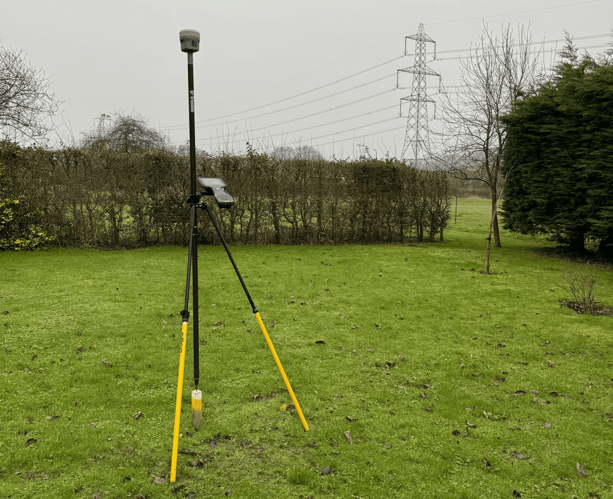
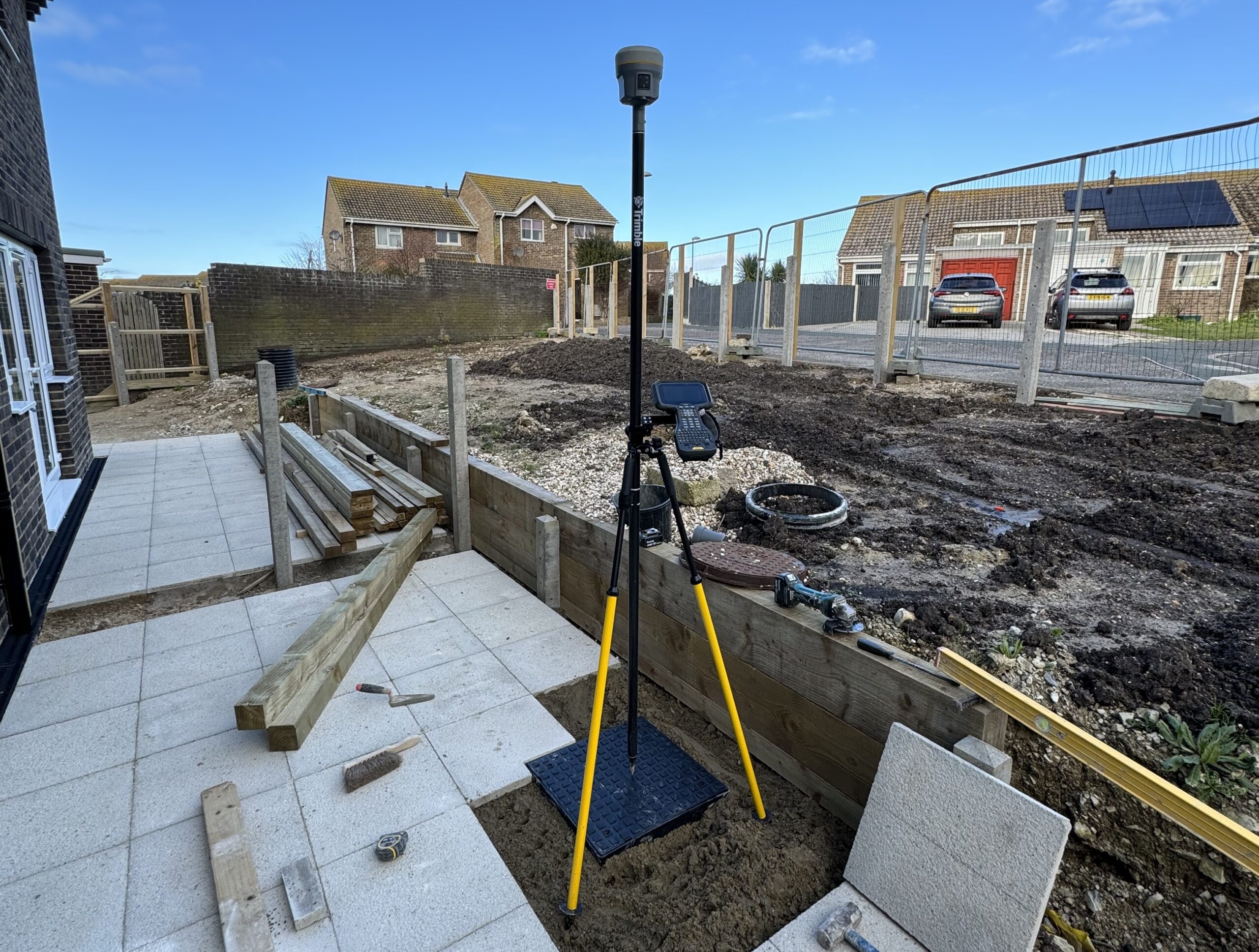
Our team of experienced surveyors utilizes advanced technology and precise measurement techniques to capture detailed data about the landscape. This process involves the use of Total Stations, GPS/GNSS equipment, and aerial drones to collect information about ground elevation, contours, vegetation, water bodies, and existing structures.
Key Features of Our Topographic Surveys:
- Contour Maps: We create contour maps that illustrate the elevation changes across the site, helping to identify slopes, valleys, and other topographical features.
- Cross-Sections: Our surveys can include cross-sectional drawings that provide vertical profiles of the land, showing variations in elevation and terrain.
- 3D Terrain Models: We can generate 3D models of the site, allowing for immersive visualization and accurate volumetric calculations.
- Site Analysis: Our surveys provide valuable information for site analysis and planning, helping to identify potential challenges and opportunities for development.
Why Choose Us for Topographic Surveying?
- Accuracy: We are committed to delivering precise and reliable data, ensuring that our clients have the information they need to make informed decisions.
- Efficiency: Our team is equipped with the latest surveying technology and methodologies, allowing us to complete topographic surveys efficiently and cost-effectively.
- Expertise: With years of experience in topographic surveying, our surveyors have the knowledge and skills to handle projects of any size or complexity.
- Customization: We understand that every project is unique, and we work closely with our clients to tailor our services to meet their specific requirements and objectives.
Contact Us Today
Whether you’re planning a construction project, conducting environmental assessments, or need accurate topographic data for engineering design, 4D Surveying Ltd is here to help. Contact us today to learn more about our Topographic Surveying services and how we can support your project.